

Drone Photography & Image Processing
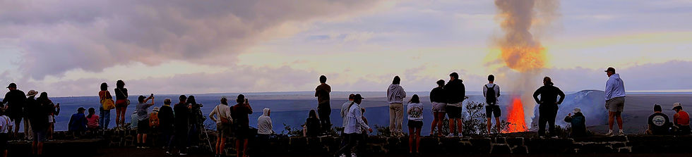
Drone photography can capture client attention in any sector it is applied to. Geoscience professionals continue to express how valuable drone images are of active eruptions such as the Litle-Hrútur volcano in Iceland July 2023. Drones allow specialized researchers to access dangerous areas and collect the images otherwise unobtainable which are required for a proper analysis of the site. Aerial photography of properties has proven to increase sales for real estate agents. Aerial imaging captures special events from a unique perspective and increases attention on social media and website marketing. UAS photography can increase exposure with specialized marketing photos, monitor extreme environments, contribute to natural resource management, and increase understanding through the visualization of scientific & academic research projects.


Arenal Volcano National Park Costa Rica


Turrialba Volcano National Park Costa Rica


Poás Volcano National Park Costa Rica


